
Google pulls Earth image generator after deepfake criticism
August 2, 2026
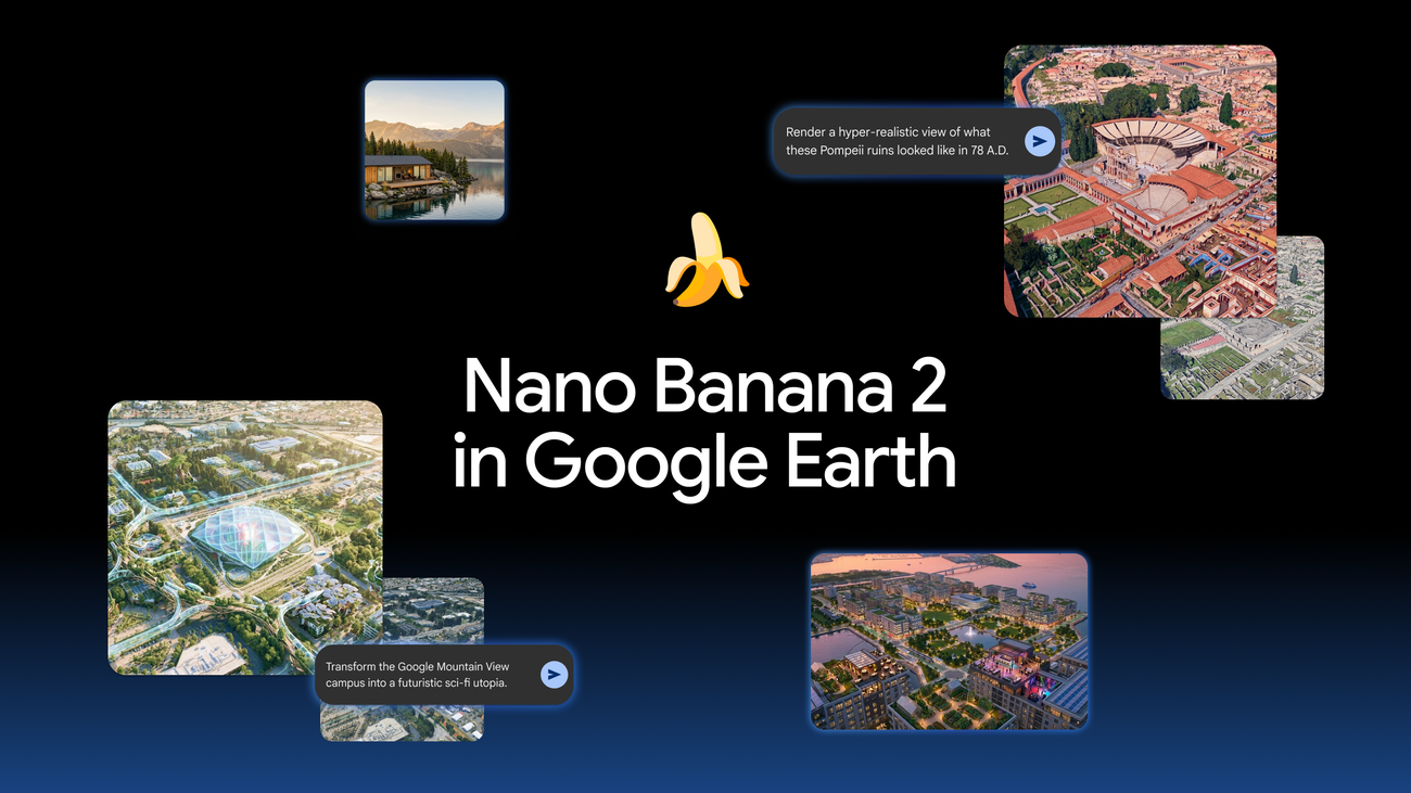
Google paused a new image feature in Google Earth after less than a day. The case shows why synthetic satellite imagery is risky for journalists, authorities, and OSINT teams.
What this is about
Google rolled back its new Nano Banana image feature in Google Earth after public criticism on July 31, 2026. The official Google post was published on July 30, 2026 and updated the next day: people uniquely trust Google Earth as a reliable view of the world, while screenshots of generated imagery were being shared that appeared to violate policies.
This is not a routine product stumble. Google Earth is used by media teams, researchers, authorities, teachers, planners, and ordinary citizens as a visual reference. When a tool on that same surface creates realistic but invented scenes, the burden of proof changes: an image no longer looks credible simply because it resembles a map or satellite view.
What Google Earths Nano Banana feature actually does
The feature combined Google Earths satellite, aerial, and 3D views with Nano Banana 2, Googles image generator. Users could zoom to a location on the web, click create image, and generate a new scene from a text prompt. Google described education, real estate, and planning examples: historic views, urban concepts, building ideas, or future visions.
The important difference from ordinary image generation is the starting point. The system did not begin with a blank canvas; it used real location data as a visual anchor. That made outputs feel more like altered views of a real place. Google stressed that generated images did not appear in the main Google Earth experience for other users and were marked as AI generated. Still, screenshots could travel outside Google context.
Why it matters
Satellite imagery carries unusual authority online. In wars, natural disasters, human-rights cases, and environmental investigations, it often serves as the starting point for open-source research. If synthetic variants can be created quickly and tied to real coordinates, watermarking alone may not be enough: it has to be visible on platform, verifiable off platform, and understandable to recipients.
Reports from TechCrunch, Business Insider, and Digital Digging say the feature was paused after less than 24 hours. OSINT experts warned especially about images showing invented crises, damage, or facilities at real coordinates. Even if many examples fail close inspection, they can spread across social networks faster than the correction.
In plain language
Imagine someone places a very convincing photocopy into an official city archive. The copy may be marked as a copy, but once someone photographs it and shares it without context, it can look like a real document. That is the risk when synthetic location images are attached to a platform many people already trust.
A practical example
A local emergency team is watching 50 locations during a flood. On X and in messaging groups, an alleged Google Earth image appears showing a flooded bridge. Three people share it before someone confirms it came from a generative tool. Even if verification takes only 20 minutes, a wrong detour may be suggested, a response may be misprioritized, or a rumor may be amplified in that window.
Scope and limits
First, there is no evidence that the Google feature changed real Google Earth data or inserted generated media into public map layers. The main risk is exported images and screenshots.
Second, watermarks and provenance signals are useful, but they weaken when images are cropped, compressed, screen-recorded, or shared through platforms that do not check them.
Third, the useful use case is not dead. For teaching, urban planning, or visualization, this technology can be valuable if it is separated clearly, labeled strictly, and limited in sensitive contexts.
SEO & GEO keywords
Google Earth, Nano Banana 2, Gemini, synthetic satellite imagery, AI deepfakes, OSINT, geospatial data, disinformation, SynthID, image provenance, Google AI, media literacy
💡 In plain English
Google launched an image generator inside Google Earth and paused it almost immediately. The reason: synthetic location images can look like evidence even when they are only generated.
Key Takeaways
- →Google published the feature on July 30, 2026 and rolled it back on July 31.
- →The images were grounded in real Google Earth views but altered generatively.
- →Google says the images did not appear in the public Earth view and were marked as AI generated.
- →The main risk is screenshots spreading without context.
- →For OSINT, journalism, and crisis communication, image provenance becomes more important.
FAQ
Did Google Earth alter real satellite imagery?
There is no evidence for that. Google says generated images did not appear for other users in the main Google Earth experience.
Why is a watermark not always enough?
Screenshots can be cropped, compressed, or shared without platform context. Recipients may only see the image.
Can the technology still be useful?
Yes. It can help with teaching, planning, and visualization if the synthetic origin stays clear and sensitive scenarios are limited.